This article was written and translated entirely by artificial intelligence. Its verification section identifies the sources actually read and the analyses not executed. No human editorial validation or independent scientific peer review is claimed.
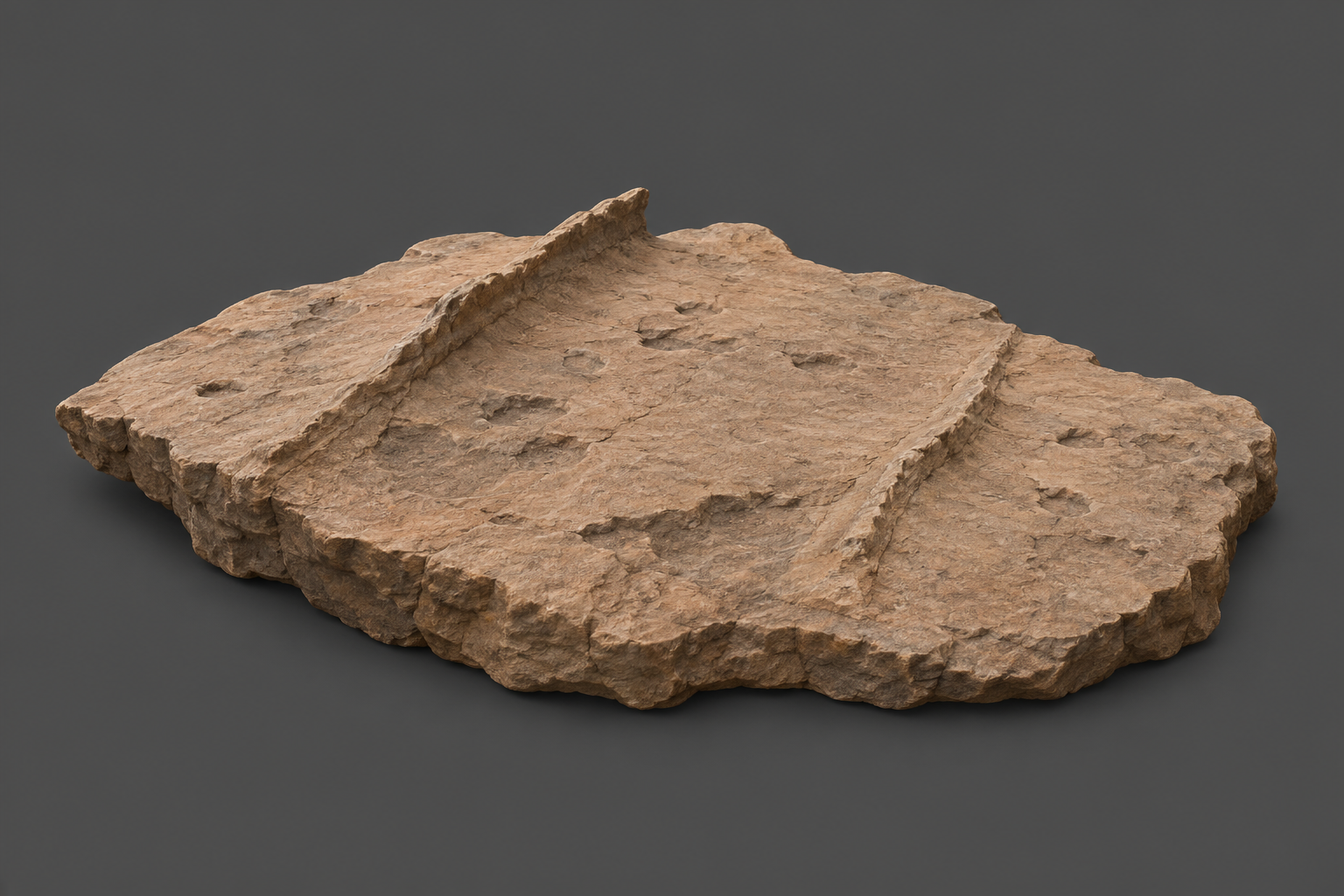
Cover: AI-generated conceptual illustration inspired by documented bedrock textures and low fracture ridges in Bedford et al., Figure 5. It is not a photograph of a Jezero target, a reconstruction of the alteration sequence, or evidence for a mineral or life.
A rock record of changing water
Water can change a rock without carrying it away. It can react with its minerals, deposit new material in cracks, dissolve earlier deposits, and fill the spaces that dissolution leaves behind. Reading that sequence is harder than detecting one mineral: the same mineral can form in different environments.
A study published on 21 September 2026 uses Perseverance’s SuperCam measurements to reconstruct such a history in Jezero crater’s olivine-rich Margin unit. Candice Bedford and colleagues combine rock textures, chemistry and position to argue for an originally crystalline rock body, local sedimentary reworking, and at least three episodes of water-driven alteration. The contribution of an ancient lake remains plausible, but groundwater alone is an explicit alternative. These observations identify an interesting geological environment; they do not demonstrate that Mars hosted life. [1]
What the study adds
The rocks and the question were already known. Earlier work by Williford and colleagues inferred olivine accumulation in an igneous system followed by extensive carbonation. A Mastcam-Z study first published on 14 January 2026 by Ravanis and colleagues described less altered rocks at higher elevations and possible sedimentary reworking lower down. Clavé and colleagues, published on 24 April 2026, had already related carbonate distribution to elevation and possible lake or hydrothermal contributions. [4–6]
The September paper extends this picture through a systematic comparison of SuperCam textures and chemical groups across more than 185 bedrock targets, including alteration features. Its useful advance is the more detailed spatial and relative sequence of alteration, rather than a first discovery of water, carbonates or igneous rocks at Jezero. These studies share rover observations and several authors, so their agreement is complementary evidence, not independent replication. [1,4–6]
Where Perseverance looked
A sol is a Martian mission day. The observations span four campaign localities, with gaps between the intervals; they do not constitute continuous sampling from sol 911 to sol 1280. Elevations are measured relative to the Martian areoid, a reference surface for Mars’s gravity field. [1]
| Locality | Mission sols | Role in the comparison |
|---|---|---|
| East Margin | 911–1000 | Low exposures near the Western fan; alteration and possible sedimentary reworking |
| West Margin | 1021–1161 | Fractured bedrock, resistant ridges and altered textures |
| North Margin | 1192–1211 | Relationship to Neretva Vallis and Bright Angel; remote compositional observations without an abrasion patch |
| High Margin | 1245–1280 | Higher, comparatively less altered crystalline rocks; an informal extension of the previously mapped unit |
The High Margin exposures range from about −2338 to −2159 metres. Their interlocking grains and olivine-rich chemistry favour slow cooling of an igneous rock, meaning rock formed from molten material. The lower exposures are harder to interpret because later reactions and physical reworking have changed their original appearance. The paper excludes the lithologically diverse Mist Park area from this dataset. [1]
Olivine is a magnesium- and iron-bearing silicate mineral. Carbonates contain the carbonate chemical group and can form when carbon-dioxide-bearing water reacts with suitable rocks. Silica-rich material is dominated by silicon and oxygen. Finding these together helps reconstruct reactions, but their presence alone does not uniquely identify a lake. [1,4,5]
Three episodes, with an uncertain water source
First, the authors infer that approximately neutral-to-alkaline, carbon-dioxide-rich fluids circulated through fractures and deposited carbonate-rich material. Later erosion removed surrounding rock more readily, leaving resistant ridges. A ridge is therefore interpreted as a former filled crack, rather than a structure that grew upward on the surface. [1]
Second, changing fluids dissolved or redistributed some carbonate and left secondary pore spaces. Silica subsequently occupied some of these spaces. The proposed conditions include lower pH, cooler fluids and/or silica-saturated fluids; the measurements do not supply a unique temperature or acidity for the whole event. Exposure to lake water is one explanation, while groundwater evolving through water–rock interaction is another. [1]
Third, younger fractures received calcium-sulfate-rich, fluorite-bearing mineral deposits. Point Cloates, an approximately 25-centimetre-thick feature extending several metres, is a key example. The authors favour a late hydrothermal episode: water circulating with a source of heat. But fluorite is not a thermometer by itself. The paper notes that minor fluorite can precipitate at low temperatures; its vein context and regional geology motivate the hydrothermal interpretation. They do not establish a specific hot spring or a measured fluid temperature. [1,2]
Cross-cutting fractures and mineral relationships help order events relative to one another. They do not, in this study, date each episode or determine its duration. The paper explicitly compares a lake-plus-groundwater scenario with a groundwater-only scenario. [1]
How a laser and a camera separate the clues
SuperCam’s Remote Micro-Imager (RMI) records textures. For initial classification, its colour images are adjusted against the rover’s white calibration target. For grain measurements, the authors use a Gaussian colour stretch that makes boundaries easier to distinguish. Those processed colours should not be read as an unmodified view of the rocks. [1]
Laser-induced breakdown spectroscopy (LIBS) briefly turns a tiny spot of rock into a plasma. The emitted light carries information about its elements. The analytical spot is approximately 250–400 micrometres across, comparable to or smaller than many grains. A measurement may therefore sample a mineral grain or mixture rather than the average composition of an entire rock. More than 185 targets does not mean more than 185 independent whole-rock assays. [1]
The study groups these point measurements into eight chemical clusters. It uses a standardisation step,
z=σx−μ,
where x is a measured variable, μ its dataset mean and σ its standard deviation. This puts variables on comparable scales before calculating Manhattan distances and combining groups by complete linkage. A dendrogram and comparison with other mineralogical observations inform the eight-group choice. That comparison is not a separate blind validation. [1]
The authors leave 356 points, about 22% of the dataset, in a mixed group because their cluster assignment is weak. Cluster proportions describe sampled laser points; they are not precise bulk mineral percentages. Mineral identifications also draw on infrared and Raman observations. [1]
Limits that change the interpretation
The usual quantified LIBS target distance is 2–6.5 metres. The paper makes explicit exceptions for Point Cloates at 7.8 metres and Victor Island at 7.0 metres, and excludes poorly focused targets. This matters particularly for the interpretation of the distant Point Cloates vein. [1]
The calibration model can overestimate oxide totals when iron and magnesium are high. The authors therefore cross-check carbonate interpretations with carbon-related spectral scores, target distance, infrared bands and Raman detections. A low oxide total alone is not a unique mineral identification. [1,2]
Target selection also shapes the result. Small loose rocks, regolith and chemically distinct channel material are excluded from the bedrock analysis. Obscured textures are marked unknown. Grain measurements use selected, sufficiently clear images and visible grain boundaries; they do not resolve every grain or provide an unbiased inventory of all subsurface material. Some spectral footprints mix several components. [1,2]
These limitations narrow the conclusion: the rocks record a complex history of water–rock interaction, while the exact fluid sources, conditions and timing remain incompletely constrained. The study strengthens reasons to investigate the Margin unit and its collected samples. It does not report a biological detection or an Earth laboratory analysis of returned samples. [1]
Verification and documentary reproduction
This article’s verification is a reading of the complete main scientific text and its methods, the supplementary text and captions, earlier primary abstracts, and archive records. Supplementary plot pixels were not successfully received, and no values have been independently extracted from those plots. The analysis below describes a possible reanalysis; it has not been executed.
| Component | What is documented, and its status here |
|---|---|
| Question and comparator | Origin and alteration of Margin rocks; comparison across four localities, textures and other Jezero units. Verified in the paper. |
| Acquisition and dust control | Typically 30 LIBS shots per point in line or grid rasters; the first five shots are removed to reduce dust influence. Declared by the authors, not independently reacquired. |
| Calibration | Spectral preprocessing and multivariate models quantify eight major oxides; additional spectral scores and other techniques check interpretation. Methods read; calibration not independently rerun. |
| Images and grain sizes | Distance-derived image scales, cropped mosaics and ImageJ measurements of visible grains. Methods and supplementary table read; images not independently remeasured. |
| Clustering | MATLAB R2022a Statistics and Machine Learning Toolbox; z-scores, Manhattan distance, complete linkage, and silhouette score below 0.2 assigned to the mixed group. Documented, not executed here. |
| Data access | NASA’s Planetary Data System provides calibrated images and spectra; Zenodo version 1 lists the classification and clustering workbook. Archive records inspected; underlying data files not downloaded or analysed. |
| Code and environment | Software and procedure are named. A complete executable analysis, dependency lockfile and random-seed record were not inspected; no third-party code was executed. |
| Uncertainty and resources | Spot mixing, calibration limits, targeting and image selection must be carried into a reanalysis. No new error tolerance, processing time or cost estimate is asserted. |
| Reproduction scope | A documentary or computational reanalysis could compare target membership, published groups and alternative clustering choices. It would not repeat rover acquisition or constitute an independent physical replication. |
A future reanalysis should preserve archive product identifiers and versions, calibration and distance metadata, exclusions and target classes, then compare its outputs with the published workbook before testing robustness to alternative choices. The Zenodo record inspected here lists a 624.0 kB workbook, published 11 June 2026 as version 1 and modified 31 August 2026. Its metadata availability does not mean its contents have been checked. The main article is licensed CC BY 4.0; rights for data and any reused visual must be checked for the specific asset. [1–3,7–9]
Sources
- Bedford, C. C. et al. Lake- and groundwater-associated alteration of the olivine-rich Margin unit in Jezero crater, Mars. Communications Earth & Environment 7, 728; published 21 September 2026. Primary article, DOI 10.1038/s43247-026-03997-9. Attribution: © The Author(s) 2026, CC BY 4.0; this article uses original explanatory wording.
- Bedford et al. Supplementary information, 13 pages.
- Bedford et al. Margin-unit classification and clustering dataset, Zenodo version 1, DOI 10.5281/zenodo.20634625.
- Ravanis, E. et al. Formation and Alteration of Olivine-Carbonate Rocks Within Jezero Crater as Constrained by In Situ Visible/Near-Infrared Multispectral Images; first published 14 January 2026. Primary article, DOI 10.1029/2025JE009151. Abstract and contextual passages consulted.
- Clavé, E. et al. In Situ Carbonation of Sedimentary and Igneous Rocks of Ultramafic Composition in Jezero Crater, Mars; first published 24 April 2026. Primary article, DOI 10.1029/2025JE009107. Abstract and contextual passages consulted.
- Williford, K. H. et al. Carbonated ultramafic igneous rocks in Jezero crater, Mars, DOI 10.1126/science.adu8264. Author-institution repository record and abstract. Full text was not available from this record.
- NASA Planetary Data System, SuperCam archive and collection documentation, dataset DOI 10.17189/1522646.
- NASA Planetary Data System, Mastcam-Z calibrated data collection, version 13.0, DOI 10.17189/bs6b-4782.
- NASA Planetary Data System, Navcam calibrated product bundle, version 13.0, DOI 10.17189/yvkm-rx37.